Tatham Gap Road
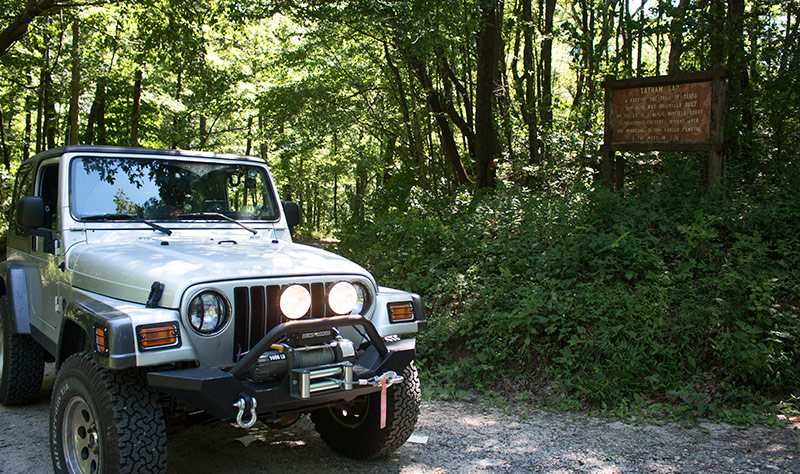
Tatham Gap Road from Robbinsville to Andrews, North Carolina has been reopened in August 2015 after three years of repair work. This is a great dual sport/Jeep route and can be driven by cars. It might be a little bumpy in spots, but most vehicles can handle it.
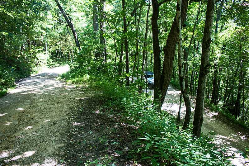
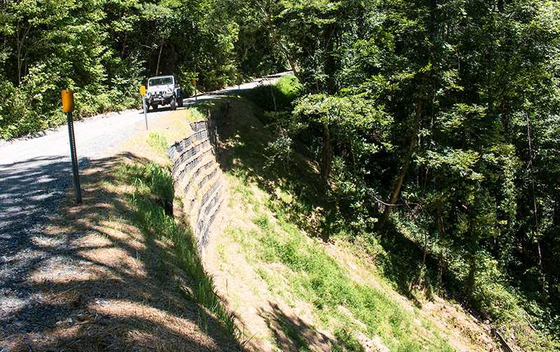
We call this nine mile long road the Gravel Dragon. From Robbinsville take Long Creek Road south from Snowbird Road (NC 1127) near the recycling center. From Andrews take Stewart Road (NC 1389) north of US 19/74/129 to Tatham Gap Road and turn right onto the gravel. The road is in good condition, but there are several corners on the Andrews side with minor washouts.
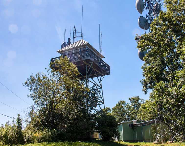
At 4 miles from the Robbinsville end is a side road that leads up to Joanna Bald (aka Teyahalee Bald) at 4716 feet elevation. The road is gated. You’ll have to hike the last 1/2 mile to the Joanna Bald Fire Tower itself.
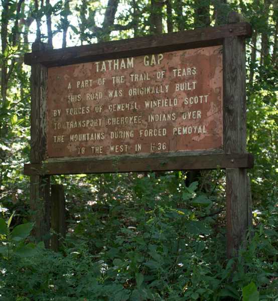
This road has historical significance. It was orignially built circa 1836 by the US Army to provide accesss into Cherokee Territory. A fort was established near present day Robbinsville and the Cherokee were brought in from the wilds to relocate to Oklahoma. The Trail of Tears is way too complicated to discuss here, but it is not a pretty story.
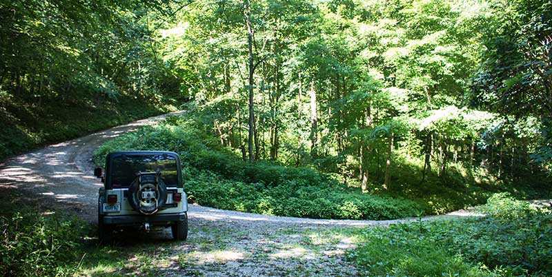
The road was constructed through the desolate and steep mountains using the crudest equipment of the day. Perhaps the most amazing story is the navigation of the route. And note the timber rattler in the photo. Back then they were much more prevalent. Some of the swithbacks were so sharp that wagons had to enter the corner and then back-up a bit to complete the turn.
In 1994 severe flooding washed out all three roads leading into Robbinsville and all traffic including UPS had to take this road for several days.


