Complete Devils Triangle 2014
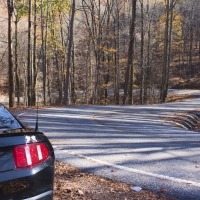
This 44-mile loop is located northwest of Oak Ridge Tennessee and 24 miles west of Knoxville. It offers some touring excitement not found on many roads including the Tail of the Dragon. It forms a rough triangle consisting of two connecting roads TN 62/TN 330, and TN 116 where all the action is.
Heading west out of Oliver Springs on TN 62 you’ll find a typical country two-lane back road. Nothing special here other a couple of sweeping turns with a 55 mph speed limit. At White Schoolhouse corners take a right onto TN 116 also known as the Petros Highway. All mileage locations on TN 116 are measured from this point.
One of the few places to grab a sandwich and soda in at the Brushy Mountain Market in the small town of Petros (pronounced pee’-tross) at mile 1.7. The only on-line review says “Good slaw dog.” Being extremely picky eaters we didn’t sample the food. Not much has changed here since our last visit in 2010 other than the Petros Gro-Deli on Main Street is now a Mission.
This is no place for “buffet riders”. It is a virtual food desert.
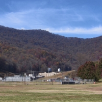
At mile three is the old Brushy Mountain Prison where James Earl Ray, the convicted assassin of Martin Luther King, was incarcerated and escaped from in 1977 only to be recaptured three days later. He was probably glad to be caught as the terrain here is steep, remote and unforgiving.
There are big plans for the prison that was operational from 1896 to 2009. A consortium called the Brushy Mountain Group is looking to develop the property with two sustainable industries in mind – tourism and distilling. What once would have been a sure way to get free room and board at the prison will now be an legal operating business there. Times do change. Plans are to produce Brushy Mountain Reserve Whisky and three shines: End of the Line Butterscotch, Blueberry and Blackberry Tennessee Moonshine.
Also planned at the prison are an RV park, restaurant, bed & breakfast, prison tours, bottled water, gift shop, stables and horseback riding tours, camp grounds, festival grounds, brewery, walking trails, museum, orchard and multi-use field. Construction is said to begin this December. SEE MORE AT BrushyMtnGroup.com
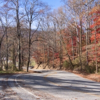
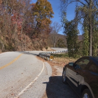
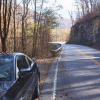
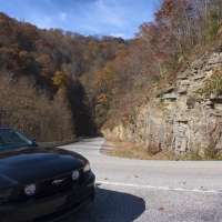
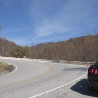
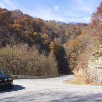
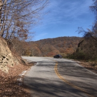
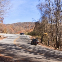
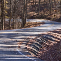
Anyway, back to the road. The prison entrance also marks the beginning of some great twisties that rival the Dragon for 3.5 miles. The road climbs from 1400 feet to 2150 in the first two miles and then descends to 1600 feet in the next 1.5 miles. But beware of the nasty drop-offs, rock walls/outcroppings, deep ruts just off the pavement, guardrails and concrete walls all of which can cause serious bodily harm. The pavement is in excellent condition though. Sounds like fun.
Once over this twistie section the road changes from Petros Highway to New River Highway (still TN 116) and mellows into fairly level sweepers. You’ll get a quick view of the giant electricity generating windmills on the mountain top as you pass the coal plant. It didn’t look like it was operational when we passed, but watch out anyway.
We describe the scenery here as Tennessee backwoods. There are Confederate flags flying, preschoolers on RTVs right in the roadway, scores of old cars and trucks scattered in the fields, abandoned singlewides, pop-up campers used as living quarters and many buildings in various states of disrepair within feet of the pavement. The old Hut Drive-Up food shed is overgrown and apparently no longer serving food. The house with a huge truck-tire garden once featured in Better Homes and Gardens is still there.
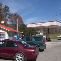
We made a stop at the Blue & White Service Station at mile 14 but no attendant was on duty. The porch light which had been on in 2010 was burned-out. No service here, but it’s a great photo-op. Next door was the New River General Store in a two-story brick building that dates back to the 1920s. Not much for eats unless you have the “tater Baby Salad” whatever that is. But you can grab a snack, a drink and a New River T-shirt here.
Oddly there is an old newspaper article framed on the wall entitled “Put it on my tab Scotty” probably from the 1970s, yet over the lunch counter a sign reads “CREDIT MAKES ENEMIES SO PLEASE LETS STAY FRIENDS”. Times do change.
Mile 16 is the top of the triangle. After crossing the New River Bridge the road takes a sharp right to head in the southeast direction. Stoney Fork Road heads north from here and goes into Caryville and I-75 in 16.5 miles. This is a gravel road that is fairly well maintained, but near Caryville there are several serious switchbacks.
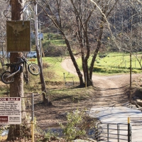
On 116 watch out for the next right … it’s a sharp and unexpected turn. A little past the bridge is Grey Wolf’s Campground, a local motorcycle hang-out and one-time rally location. We noted it is for sale. Too bad it is so far off the main roads.
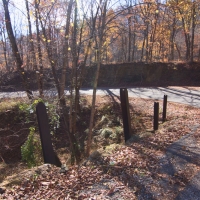
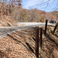
Here the twisties improve and the logging trucks appear. Many of the sharper corners have plenty of directional arrows to get your attention. And be sure to pay attention because this is no place to go off the road even a few inches. The drop-offs are steep and rugged. The pavement in this section is good, but there are a couple of rough places where the roadway has washed-out and been repaired. It is easy to see it coming. There are also some severe corners here, but not quite what we’d call switchbacks.
At mile 23 the oldest Confederate flag still flies although it is now an unrecognizable ragged piece of cloth. Probably time to retire it.
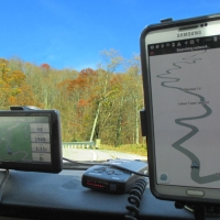
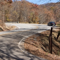
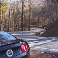
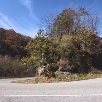
And then at mile 23.4 come the real challenges. Get ready for what has to be four of the sharpest and steepest switchbacks in the United States. Going our direction (clockwise) is the easiest to confront these beasts in a downhill direction. Taking the switchies counterclockwise and uphill for motorcycles requires great coordination of throttle, brake and clutch to prevent a “stall and fall”. Not to mention the logging trucks you just might meet.
The first switchback is at Graves Gap Baptist Church at 355 degree angle. The second at single wide corner is a whopping 372 degrees, more than doubling back on itself. The third is 360 degrees and a great photo spot. The last is a mere 350 degrees. All four switchbacks are downhill when going in a clockwise direction.
After the switchbacks comes the haunted section. Here you’ll find some gnarly corners and wicked drop-offs. At mile 26 you hit TN 330 AKA Frost Bottom Road at Laurel Grove. This typical country two-lane will take you back to Oliver Springs. Here you can relax a little on the way to completing the Devils Triangle Loop.
We highly recommend the Windmill Inn in Oliver Springs, a great bed and breakfast where Nancy and I stayed. If you’d prefer a chain motel the Hampton Inn in Oak Ridge is just 5 miles down TN 61.

